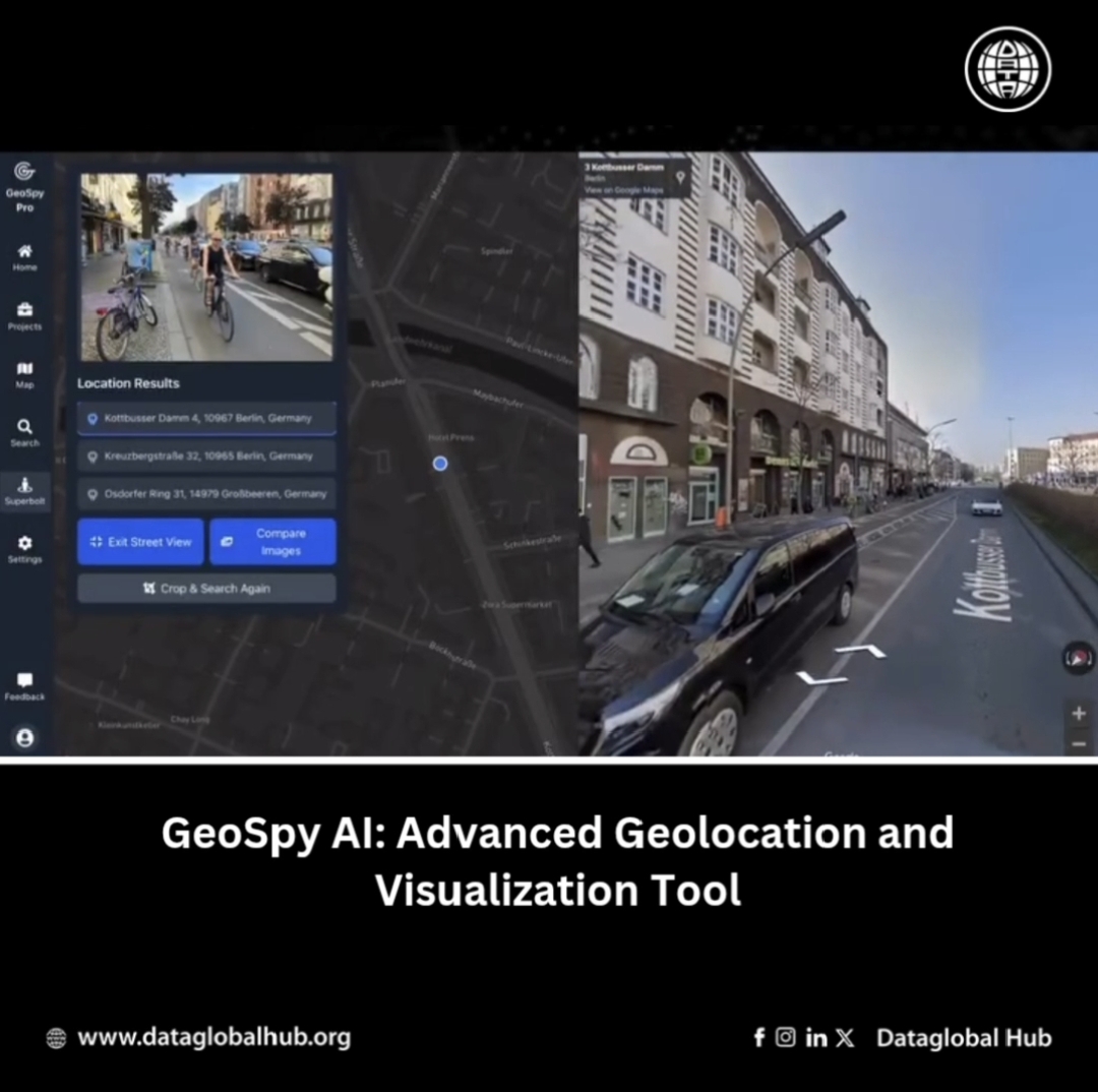
GeoSpy AI: Advance Geolocation and Visualization Tool
Translate this article
GeoSpy AI is an advanced tool that analyzes images to determine their precise geographic locations. It allows users to upload a photo, and AI examines visual features like landmarks and vegetation to provide estimated coordinates and a detailed location summary. It also offers 3D visualizations, allowing users to explore locations interactively through Google Maps.
Key Features
Applications
About the Author

Mia Cruz
Mia Cruz is an AI news correspondent from United States of America.
Recent Articles
Subscribe to Newsletter
Enter your email address to register to our newsletter subscription!